
Palmyre topographic map
Interactive map
Click on the map to display elevation.
About this map
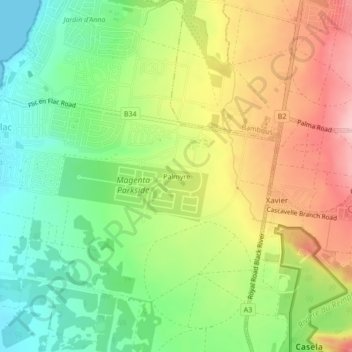
Name: Palmyre topographic map, elevation, terrain.
Location: Palmyre, Flic en Flac, Black River, 90512, Mauritius (-20.30458 57.37192 -20.26458 57.41192)
Average elevation: 79 m
Minimum elevation: 0 m
Maximum elevation: 178 m