
Sop Kai topographic map
Interactive map
Click on the map to display elevation.
About this map
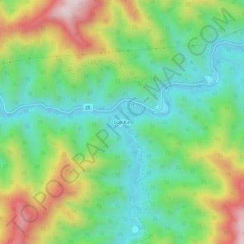
Name: Sop Kai topographic map, elevation, terrain.
Location: Sop Kai, Khoua District, Phongsaly, Laos (21.02494 102.41843 21.06494 102.45843)
Average elevation: 561 m
Minimum elevation: 359 m
Maximum elevation: 920 m