
Gudensberg topographic map
Interactive map
Click on the map to display elevation.
About this map
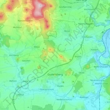
Name: Gudensberg topographic map, elevation, terrain.
Location: Gudensberg, Schwalm-Eder-Kreis, Hessen, 34281, Deutschland (51.13850 9.30244 51.25493 9.43055)
Average elevation: 234 m
Minimum elevation: 144 m
Maximum elevation: 558 m