
Packwood topographic map
Interactive map
Click on the map to display elevation.
About this map
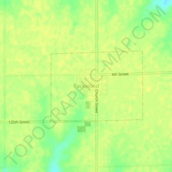
Name: Packwood topographic map, elevation, terrain.
Location: Packwood, Jefferson County, Iowa, United States (41.12720 -92.09215 41.13831 -92.07299)
Average elevation: 247 m
Minimum elevation: 233 m
Maximum elevation: 251 m