
Badra District topographic map
Interactive map
Click on the map to display elevation.
About this map
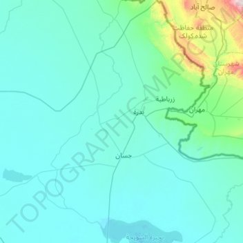
Name: Badra District topographic map, elevation, terrain.
Location: Badra District, Wasit Governorate, Iraq (32.67100 45.61601 33.48913 46.21561)
Average elevation: 113 m
Minimum elevation: 9 m
Maximum elevation: 1,725 m
Other topographic maps
Click on a map to view its topography, its elevation and its terrain.