Geolocate

Naches Heights topographic map

Interactive map

Click on the map to display elevation.

About this map

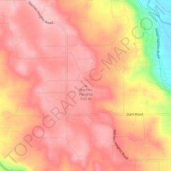
Name: Naches Heights topographic map, elevation, terrain.

Location: Naches Heights, Yakima County, Washington, United States (46.64091 -120.64206 46.64101 -120.64196)

Average elevation: 501 m

Minimum elevation: 374 m

Maximum elevation: 547 m

Other topographic maps

Click on a map to view its topography, its elevation and its terrain.

Ahtanum State Forest

United States > Washington > Yakima County

Ahtanum State Forest, Yakima County, Washington, United States

Average elevation: 1,214 m

Tieton

United States > Washington > Yakima County

Tieton, Yakima County, Washington, 98947, United States

Average elevation: 594 m

Zillah

United States > Washington > Yakima County

Zillah, Yakima County, Washington, 98953, United States

Average elevation: 260 m

Selah

United States > Washington > Yakima County > Selah

Selah, Yakima County, Washington, 98942, United States

Average elevation: 395 m