
St. Vincent topographic map
Interactive map
Click on the map to display elevation.
About this map
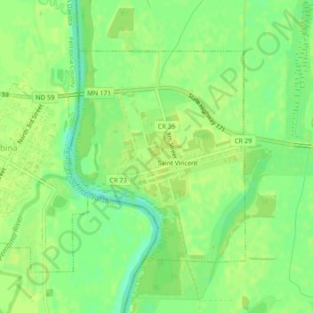
Name: St. Vincent topographic map, elevation, terrain.
Location: St. Vincent, Kittson County, Minnesota, 56755, United States (48.95924 -97.23926 48.97746 -97.21609)
Average elevation: 241 m
Minimum elevation: 230 m
Maximum elevation: 245 m