
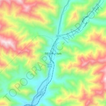
巴仑台镇 topographic map
Interactive map
Click on the map to display elevation.
About this map
Name: 巴仑台镇 topographic map, elevation, terrain.
Location: 巴仑台镇, 和静县, 巴音郭楞蒙古自治州, 新疆维吾尔自治区, 中国 (42.70546 86.27038 42.78546 86.35038)
Average elevation: 2,205 m
Minimum elevation: 1,679 m
Maximum elevation: 3,041 m
Other topographic maps
Click on a map to view its topography, its elevation and its terrain.