
Reisedt topographic map
Interactive map
Click on the map to display elevation.
About this map
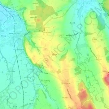
Name: Reisedt topographic map, elevation, terrain.
Location: Reisedt, Moosbach, Bezirk Braunau am Inn, 5271, Österreich (48.16321 13.13114 48.20321 13.17114)
Average elevation: 426 m
Minimum elevation: 392 m
Maximum elevation: 483 m