
white clay creek state park topographic map
Interactive map
Click on the map to display elevation.
About this map
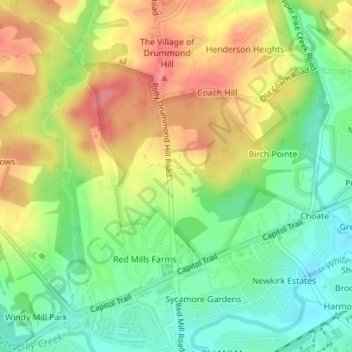
Name: white clay creek state park topographic map, elevation, terrain.
Average elevation: 43 m
Minimum elevation: 5 m
Maximum elevation: 85 m