
Piz Ela topographic map
Interactive map
Click on the map to display elevation.
About this map
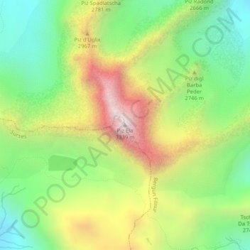
Name: Piz Ela topographic map, elevation, terrain.
Location: Piz Ela, Surses, Albula, Graubünden, 7482, Schweiz (46.60189 9.70756 46.60199 9.70766)
Average elevation: 2,668 m
Minimum elevation: 2,208 m
Maximum elevation: 3,322 m