
زفر topographic map
Interactive map
Click on the map to display elevation.
About this map
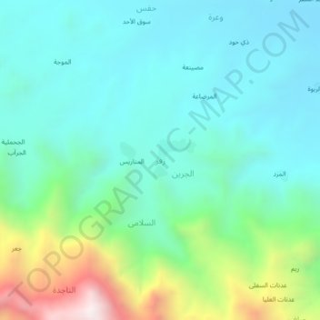
Name: زفر topographic map, elevation, terrain.
Location: زفر, Mawiyah District, تعز, Iêmen (13.57342 44.39150 13.61342 44.43150)
Average elevation: 1,334 m
Minimum elevation: 1,057 m
Maximum elevation: 2,220 m