
Gadegast topographic map
Interactive map
Click on the map to display elevation.
About this map
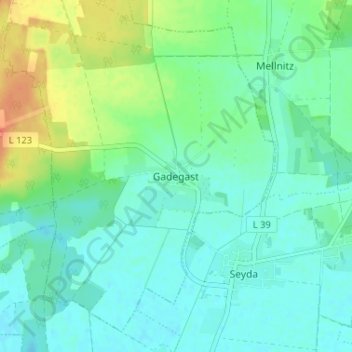
Name: Gadegast topographic map, elevation, terrain.
Location: Gadegast, Wittenberg, Sachsen-Anhalt, 06918, Deutschland (51.87161 12.87208 51.91161 12.91208)
Average elevation: 87 m
Minimum elevation: 75 m
Maximum elevation: 116 m