
Glascoed topographic map
Interactive map
Click on the map to display elevation.
About this map
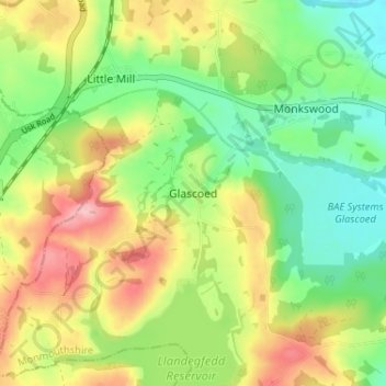
Name: Glascoed topographic map, elevation, terrain.
Location: Glascoed, Monmouthshire, Wales, NP4 0TZ, United Kingdom (51.68962 -2.98824 51.72962 -2.94824)
Average elevation: 86 m
Minimum elevation: 24 m
Maximum elevation: 171 m
Monmouthshire trails, hiking, mountain biking, running and outdoor activities
Other topographic maps
Click on a map to view its topography, its elevation and its terrain.