Geolocate

SECTOR 78 topographic map

Click on the map to display elevation.

About this map

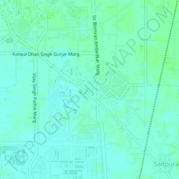
Name: SECTOR 78 topographic map, elevation, terrain.

Location: SECTOR 78, Faridabad, Faridabad District, Haryana, India (28.37402 77.36396 28.38782 77.38026)

Average elevation: 202 m

Minimum elevation: 199 m

Maximum elevation: 205 m

Gear up for your next adventure:

🧢Hiking Hats - Sun and weather protection for outdoor walks
🧼Camping Hygiene Kits - Compact hygiene essentials for outdoor stays
📐Altimeters & Barometers - Tools for measuring altitude and air pressure
🧥Softshell Jackets - Breathable jackets for active outdoor use
🥫Expedition Meals - Lightweight, high-calorie nutrition for long-distance hikers

As an Amazon Associate, this site earns from qualifying purchases at no extra cost to you.