
Nassy topographic map
Interactive map
Click on the map to display elevation.
About this map
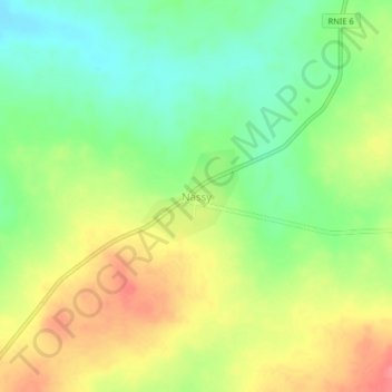
Name: Nassy topographic map, elevation, terrain.
Location: Nassy, Pèrèrè, Borgou Department, Benin (9.59529 2.96478 9.63529 3.00478)
Average elevation: 386 m
Minimum elevation: 353 m
Maximum elevation: 423 m