
Little Sandy Lake topographic map
Interactive map
Click on the map to display elevation.
About this map
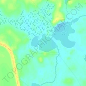
Name: Little Sandy Lake topographic map, elevation, terrain.
Average elevation: 447 m
Minimum elevation: 439 m
Maximum elevation: 463 m
Other topographic maps
Click on a map to view its topography, its elevation and its terrain.
Dark River
United States > Minnesota > Saint Louis County > Mountain Iron
Dark River, Mountain Iron, Saint Louis County, Minnesota, United States
Average elevation: 458 m