
Jateh topographic map
Interactive map
Click on the map to display elevation.
About this map
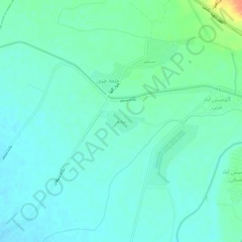
Name: Jateh topographic map, elevation, terrain.
Average elevation: 116 m
Minimum elevation: 106 m
Maximum elevation: 147 m
Other topographic maps
Click on a map to view its topography, its elevation and its terrain.
Dezful
Iran > Khuzestan Province > Dezful County
Dezful is 650 kilometers away from the national capital of Tehran and 155 kilometres away from the provincial capital of Ahvaz. The city is located 300 kilometres from the Persian Gulf and is at an altitude of 143 meters.
Average elevation: 137 m