
Huta Voivozi topographic map
Interactive map
Click on the map to display elevation.
About this map
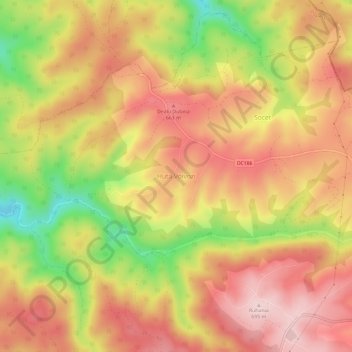
Name: Huta Voivozi topographic map, elevation, terrain.
Location: Huta Voivozi, Șinteu, Bihor, 417551, Romania (47.13598 22.46011 47.17598 22.50011)
Average elevation: 589 m
Minimum elevation: 430 m
Maximum elevation: 693 m