
Kota topographic map
Interactive map
Click on the map to display elevation.
About this map
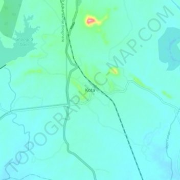
Name: Kota topographic map, elevation, terrain.
Location: Kota, Kota Tahsil, Bilaspur, Chhattisgarh, 495650, India (22.25592 81.98395 22.33592 82.06395)
Average elevation: 314 m
Minimum elevation: 292 m
Maximum elevation: 479 m