
Liberty topographic map
Interactive map
Click on the map to display elevation.
About this map
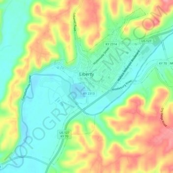
Name: Liberty topographic map, elevation, terrain.
Location: Liberty, Casey County, Kentucky, United States (37.29789 -84.95007 37.33329 -84.90104)
Average elevation: 276 m
Minimum elevation: 231 m
Maximum elevation: 343 m