Geolocate

Landon topographic map

Click on the map to display elevation.

About this map

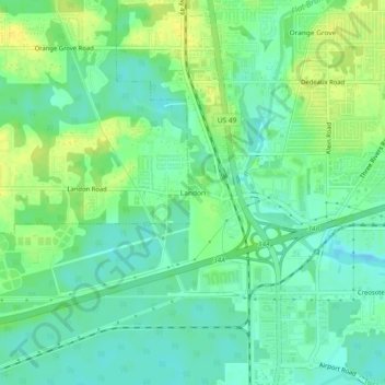
Name: Landon topographic map, elevation, terrain.

Location: Landon, Gulfport, Harrison County, Mississippi, 39503, United States (30.41797 -89.12282 30.45797 -89.08282)

Average elevation: 9 m

Minimum elevation: -2 m

Maximum elevation: 21 m

Other topographic maps

Click on a map to view its topography, its elevation and its terrain.

Gear up for your next adventure:

🥫Expedition Meals - Lightweight, high-calorie nutrition for long-distance hikers
🧭Orienteering Compasses - Accurate compasses for map-based navigation
Insulated Travel Mugs - Keep drinks hot while surveying the landscape from a summit
📢Survival Whistles - Essential safety gear for signaling for help in mountain fog
📍Handheld GPS Navigators - Reliable satellite navigation for hiking and off-road exploration

As an Amazon Associate, this site earns from qualifying purchases at no extra cost to you.