
El Bebedero topographic map
Interactive map
Click on the map to display elevation.
About this map
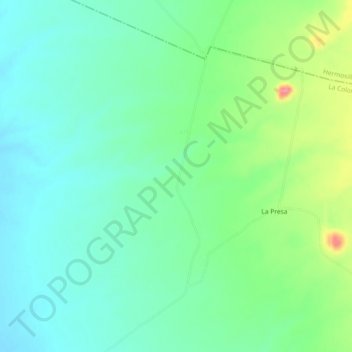
Name: El Bebedero topographic map, elevation, terrain.
Location: El Bebedero, La Colorada, Sonora, México (28.92017 -110.65800 28.96017 -110.61800)
Average elevation: 373 m
Minimum elevation: 347 m
Maximum elevation: 436 m