
Langtang topographic map
Interactive map
Click on the map to display elevation.
About this map
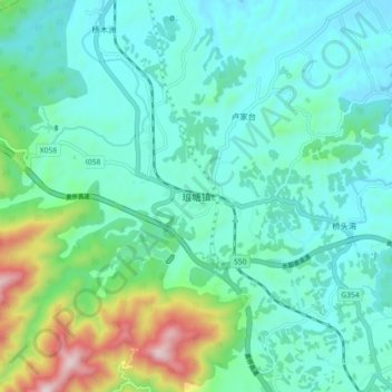
Name: Langtang topographic map, elevation, terrain.
Location: Langtang, Loudi, Hunan, China (27.92087 111.07939 28.00087 111.15939)
Average elevation: 314 m
Minimum elevation: 166 m
Maximum elevation: 886 m