
Thank you for supporting this site ❤️
Make a donation
Make a donation
Gear up for your next adventure:
As an Amazon Associate, this site earns from qualifying purchases at no extra cost to you.
Kalaldi topographic map
Click on the map to display elevation.
Thank you for supporting this site ❤️
Make a donation
Make a donation
Gear up for your next adventure:
As an Amazon Associate, this site earns from qualifying purchases at no extra cost to you.
About this map
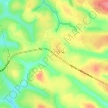
Name: Kalaldi topographic map, elevation, terrain.
Location: Kalaldi, Meiganga, Mbéré, Région de l'Adamaoua, Cameroun (6.48711 14.06443 6.52711 14.10443)
Average elevation: 1,043 m
Minimum elevation: 1,000 m
Maximum elevation: 1,088 m
Thank you for supporting this site ❤️
Make a donation
Make a donation
Gear up for your next adventure:
As an Amazon Associate, this site earns from qualifying purchases at no extra cost to you.