Geolocate

Longleaf topographic map

Click on the map to display elevation.

About this map

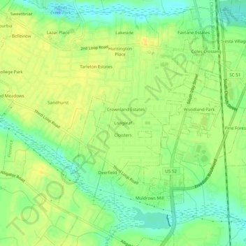
Name: Longleaf topographic map, elevation, terrain.

Location: Longleaf, Florence, Florence County, South Carolina, 29504, United States (34.13488 -79.80006 34.17488 -79.76006)

Average elevation: 35 m

Minimum elevation: 21 m

Maximum elevation: 45 m

Other topographic maps

Click on a map to view its topography, its elevation and its terrain.

Gear up for your next adventure:

🖼️Topographic Map Art - Decorative 3D-effect posters of famous UK peaks and regions
🔋Lithium AA Batteries - Long-lasting power that performs well in cold mountain weather
📦Dry Bags - Waterproof bags to protect gear from rain
🧼Technical Clothing Wash - Special soap to clean and restore waterproof membranes
🎒Hiking Daypacks - Compact backpacks ideal for short hikes and excursions

As an Amazon Associate, this site earns from qualifying purchases at no extra cost to you.