
Aalden topographic map
Interactive map
Click on the map to display elevation.
About this map
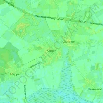
Name: Aalden topographic map, elevation, terrain.
Location: Aalden, Coevorden, Drenthe, Nederland (52.77057 6.66789 52.81016 6.73511)
Average elevation: 18 m
Minimum elevation: 12 m
Maximum elevation: 23 m
Other topographic maps
Click on a map to view its topography, its elevation and its terrain.
Oosterhesselen
Nederland > Drenthe > Coevorden
Oosterhesselen, Coevorden, Drenthe, Nederland
Average elevation: 15 m