
Guci topographic map
Interactive map
Click on the map to display elevation.
About this map
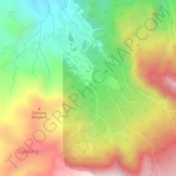
Name: Guci topographic map, elevation, terrain.
Location: Guci, Tegal, Central Java, Indonesia (-7.22928 109.14597 -7.18928 109.18597)
Average elevation: 1,560 m
Minimum elevation: 1,056 m
Maximum elevation: 2,140 m