
Al Ghutah topographic map
Interactive map
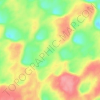
Click on the map to display elevation.
About this map
Name: Al Ghutah topographic map, elevation, terrain.
Location: Al Ghutah, جبه, Hayel Region, Saudi Arabia (27.93328 41.18328 27.93338 41.18338)
Average elevation: 882 m
Minimum elevation: 830 m
Maximum elevation: 926 m