
Nyeyama topographic map
Interactive map
Click on the map to display elevation.
About this map
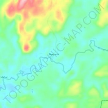
Name: Nyeyama topographic map, elevation, terrain.
Location: Nyeyama, Kolahun, Lofa County, Liberia (7.95381 -10.59005 7.99381 -10.55005)
Average elevation: 258 m
Minimum elevation: 210 m
Maximum elevation: 371 m