
Donkmeer topographic map
Interactive map
Click on the map to display elevation.
About this map
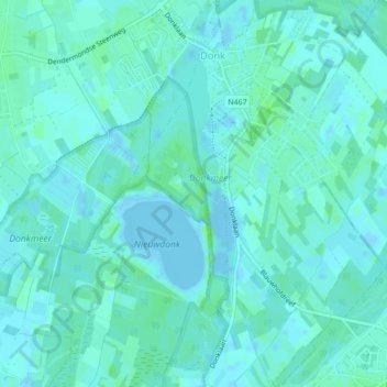
Name: Donkmeer topographic map, elevation, terrain.
Average elevation: 3 m
Minimum elevation: -5 m
Maximum elevation: 7 m
Other topographic maps
Click on a map to view its topography, its elevation and its terrain.
Uitbergen
België > Vlaanderen > Berlare > Uitbergen
Uitbergen, Berlare, Oost-Vlaanderen, Vlaanderen, 9290, België
Average elevation: 4 m