
Falls City topographic map
Interactive map
Click on the map to display elevation.
About this map
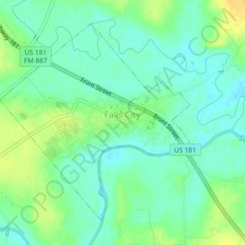
Name: Falls City topographic map, elevation, terrain.
Location: Falls City, Karnes County, Texas, United States (28.96967 -98.03376 28.99153 -98.00930)
Average elevation: 94 m
Minimum elevation: 84 m
Maximum elevation: 110 m
Other topographic maps
Click on a map to view its topography, its elevation and its terrain.