
Mudumu National Park topographic map
Interactive map
Click on the map to display elevation.
About this map
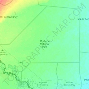
Name: Mudumu National Park topographic map, elevation, terrain.
Location: Mudumu National Park, Zambezi Region, Namibië (-18.24679 23.34478 -17.93889 23.71949)
Average elevation: 954 m
Minimum elevation: 944 m
Maximum elevation: 989 m
Other topographic maps
Click on a map to view its topography, its elevation and its terrain.
Nkasa Rupara National Park
Nkasa Rupara National Park, Zambezi Region, Namibië
Average elevation: 946 m