
Creston topographic map
Interactive map
Click on the map to display elevation.
About this map
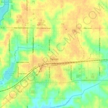
Name: Creston topographic map, elevation, terrain.
Location: Creston, Union County, Iowa, 50801, United States (41.04282 -94.39474 41.07839 -94.33718)
Average elevation: 394 m
Minimum elevation: 374 m
Maximum elevation: 405 m