
闸弄口街道 topographic map
Interactive map
Click on the map to display elevation.
About this map
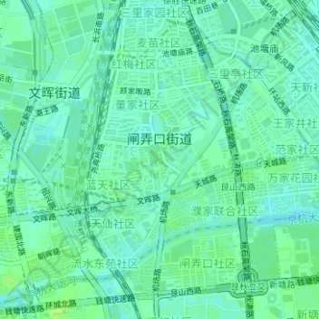
Name: 闸弄口街道 topographic map, elevation, terrain.
Location: 闸弄口街道, 上城区, 杭州市, 浙江省, 中国 (30.27800 120.17949 30.30130 120.20301)
Average elevation: 11 m
Minimum elevation: 6 m
Maximum elevation: 16 m
Other topographic maps
Click on a map to view its topography, its elevation and its terrain.
民国国立浙江图书馆(现大学路馆舍)
民国国立浙江图书馆(现大学路馆舍), 大学路社区, 小营街道, 上城区, 杭州市, 浙江省, 中国
Average elevation: 16 m