Geolocate

Bird topographic map

Click on the map to display elevation.

About this map

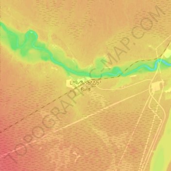
Name: Bird topographic map, elevation, terrain.

Location: Bird, Division No. 23, Manitoba, Canada (56.46503 -94.24003 56.54503 -94.16003)

Average elevation: 91 m

Minimum elevation: 57 m

Maximum elevation: 106 m

Gear up for your next adventure:

🛌Sleeping Bags - Warm and packable sleeping bags for outdoor nights
🪓Outdoor Multitools - Versatile tools for hiking and camping
🧺Ultralight Dry Bags - Organize and waterproof your gear inside your rucksack
🦯Walking Poles - Supportive poles for long-distance walking
🗺️Ordnance Survey Maps - Official UK maps for walking and outdoor activities

As an Amazon Associate, this site earns from qualifying purchases at no extra cost to you.