
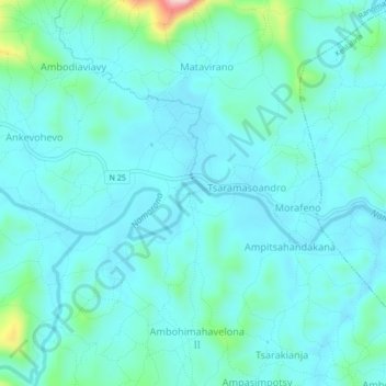
Soatanana topographic map
Interactive map
Click on the map to display elevation.
About this map
Name: Soatanana topographic map, elevation, terrain.
Average elevation: 629 m
Minimum elevation: 595 m
Maximum elevation: 823 m
Other topographic maps
Click on a map to view its topography, its elevation and its terrain.
Sahavoemba II
Madagascar > Vatovavy-Fitovinany > District de Ifanadiana > Ranomafana
Sahavoemba II, Ranomafana, District de Ifanadiana, Vatovavy-Fitovinany, Province de Fianarantsoa, Madagascar
Average elevation: 646 m
Tsaramandroso
Madagascar > Vatovavy-Fitovinany > District de Ifanadiana > Ranomafana > Tsaramandroso
Tsaramandroso, Ranomafana, District de Ifanadiana, Vatovavy-Fitovinany, Province de Fianarantsoa, Madagascar
Average elevation: 837 m