
Mabalane topographic map
Interactive map
Click on the map to display elevation.
About this map
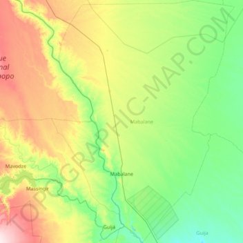
Name: Mabalane topographic map, elevation, terrain.
Location: Mabalane, Gaza Province, Mozambique (-24.19675 32.23771 -22.96687 33.24837)
Average elevation: 117 m
Minimum elevation: 33 m
Maximum elevation: 376 m
Other topographic maps
Click on a map to view its topography, its elevation and its terrain.