
Valantaravai topographic map
Interactive map
Click on the map to display elevation.
About this map
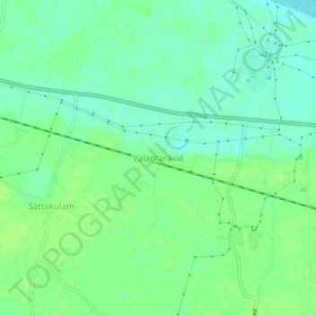
Name: Valantaravai topographic map, elevation, terrain.
Average elevation: 9 m
Minimum elevation: 2 m
Maximum elevation: 13 m
Other topographic maps
Click on a map to view its topography, its elevation and its terrain.
Kavanur
India > Tamil Nadu > Ramanathapuram
Kavanur, Ramanathapuram, Ramanathapuram District, Tamil Nadu, India
Average elevation: 10 m
Kilakkarai
India > Tamil Nadu > Ramanathapuram > Kilakkarai
Kilakkarai, Ramanathapuram, Ramanathapuram District, Tamil Nadu, 623517, India
Average elevation: 8 m