
Hammond topographic map
Interactive map
Click on the map to display elevation.
About this map
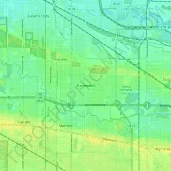
Name: Hammond topographic map, elevation, terrain.
Location: Hammond, Lake County, Indiana, 46324, United States (41.54337 -87.54004 41.62337 -87.46004)
Average elevation: 184 m
Minimum elevation: 176 m
Maximum elevation: 194 m