
Warteberg topographic map
Interactive map
Click on the map to display elevation.
About this map
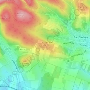
Name: Warteberg topographic map, elevation, terrain.
Average elevation: 365 m
Minimum elevation: 294 m
Maximum elevation: 458 m
Other topographic maps
Click on a map to view its topography, its elevation and its terrain.
Steina
Deutschland > Niedersachsen > Landkreis Göttingen > Bad Sachsa > Steina
Steina, Bad Sachsa, Landkreis Göttingen, Niedersachsen, 37441, Deutschland
Average elevation: 367 m