
Ponggok topographic map
Interactive map
Click on the map to display elevation.
About this map
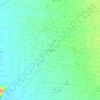
Name: Ponggok topographic map, elevation, terrain.
Location: Ponggok, Blitar, East Java, Java, 66153, Indonesia (-8.08087 112.06203 -8.00087 112.14203)
Average elevation: 176 m
Minimum elevation: 119 m
Maximum elevation: 299 m