
Santa Cruz topographic map
Interactive map
Click on the map to display elevation.
About this map
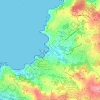
Name: Santa Cruz topographic map, elevation, terrain.
Location: Santa Cruz, Oleiros, La Coruña, Galicia, 15179, España (43.32899 -8.36595 43.36899 -8.32595)
Average elevation: 40 m
Minimum elevation: -2 m
Maximum elevation: 122 m