
Masala topographic map
Interactive map
Click on the map to display elevation.
About this map
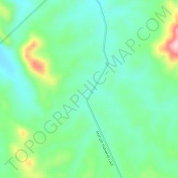
Name: Masala topographic map, elevation, terrain.
Location: Masala, Kigoma Rural, Kigoma, Western Zone, Tanzania (-6.05126 29.98639 -6.01126 30.02639)
Average elevation: 1,101 m
Minimum elevation: 1,035 m
Maximum elevation: 1,268 m