
Stockenmatt topographic map
Interactive map
Click on the map to display elevation.
About this map
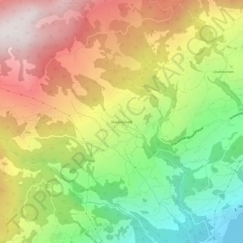
Name: Stockenmatt topographic map, elevation, terrain.
Location: Stockenmatt, Sarnen, Obwalden, 6063, Zwitserland (46.86214 8.15016 46.90214 8.19016)
Average elevation: 1,066 m
Minimum elevation: 467 m
Maximum elevation: 1,705 m