
Thank you for supporting this site ❤️
Make a donation
Make a donation
Gear up for your next adventure:
As an Amazon Associate, this site earns from qualifying purchases at no extra cost to you.
Salkanpur topographic map
Click on the map to display elevation.
Thank you for supporting this site ❤️
Make a donation
Make a donation
Gear up for your next adventure:
As an Amazon Associate, this site earns from qualifying purchases at no extra cost to you.
About this map
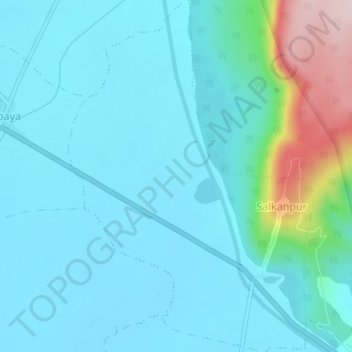
Name: Salkanpur topographic map, elevation, terrain.
Location: Salkanpur, Rehti Tahsil, Sehore, Madhya Pradesh, India (22.73118 77.45793 22.76488 77.48342)
Average elevation: 354 m
Minimum elevation: 300 m
Maximum elevation: 643 m
Thank you for supporting this site ❤️
Make a donation
Make a donation
Gear up for your next adventure:
As an Amazon Associate, this site earns from qualifying purchases at no extra cost to you.