
Jektvik topographic map
Interactive map
Click on the map to display elevation.
About this map
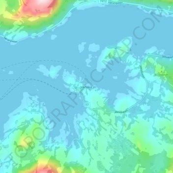
Name: Jektvik topographic map, elevation, terrain.
Location: Jektvik, Rødøy, Nordland, Norway (66.60588 13.27210 66.64588 13.31210)
Average elevation: 37 m
Minimum elevation: -13 m
Maximum elevation: 374 m