
Château de Losse topographic map
Interactive map
Click on the map to display elevation.
About this map
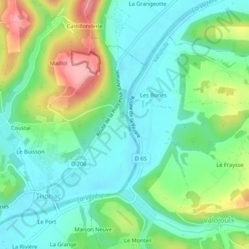
Name: Château de Losse topographic map, elevation, terrain.
Average elevation: 105 m
Minimum elevation: 65 m
Maximum elevation: 194 m
Other topographic maps
Click on a map to view its topography, its elevation and its terrain.
Montignac
France > Nouvelle-Aquitaine > Montignac
Montignac, Langon, Nouvelle-Aquitaine, France métropolitaine, 33760, France
Average elevation: 73 m