
Stellendam topographic map
Interactive map
Click on the map to display elevation.
About this map
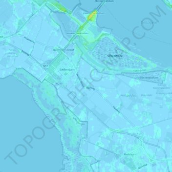
Name: Stellendam topographic map, elevation, terrain.
Location: Stellendam, Goeree-Overflakkee, Südholland, Niederlande (51.76294 3.98901 51.83295 4.08734)
Average elevation: 0 m
Minimum elevation: -5 m
Maximum elevation: 16 m