Geolocate

Ruthruff topographic map

Click on the map to display elevation.

About this map

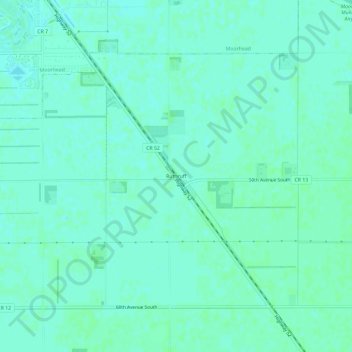
Name: Ruthruff topographic map, elevation, terrain.

Location: Ruthruff, Clay County, Minnesota, United States (46.79920 -96.71280 46.83920 -96.67280)

Average elevation: 279 m

Minimum elevation: 276 m

Maximum elevation: 282 m

Other topographic maps

Click on a map to view its topography, its elevation and its terrain.

Georgetown

United States > Minnesota > Clay County

Average elevation: 269 m

Dilworth

United States > Minnesota > Clay County

Average elevation: 278 m

Moorhead

United States > Minnesota > Clay County

Average elevation: 277 m

Barnesville

United States > Minnesota > Clay County

Average elevation: 311 m

Hawley

United States > Minnesota > Clay County

Average elevation: 356 m

Comstock

United States > Minnesota > Clay County

Average elevation: 281 m

Gear up for your next adventure:

🛰️Outdoor GPS Navigation - Navigation devices for remote and off-grid areas
🦶Anti-Blister Balms - Protect your feet before long topographic expeditions
🧥Packable Down Jackets - Lightweight warmth that compresses small in your bag
📍Handheld GPS Navigators - Reliable satellite navigation for hiking and off-road exploration
🥾Trekking Poles - Poles to improve stability on uneven terrain

As an Amazon Associate, this site earns from qualifying purchases at no extra cost to you.